Site Information
Bouchard Lake
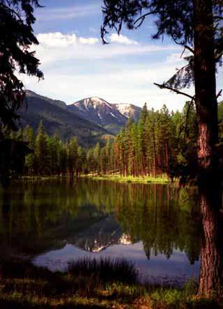 Classification: Lake
Latitude: 47.2207°
Longitude: -115.0007°
Elevation: 2930 ft.
Area: Superior
Legal Description: T17N,R27W,sec23 MT
UTMZone: 651368, 5231629
Directions:
Private Lake
The 7.5 minute series USGS topographic maps for that area
| Boyd Mountain | Saint Regis | Keystone Peak |
| Torino Peak |
NE Wilson Gulch | Superior |
| Sherlock Peak | Illinois Peak | Landowner Mountain |
Switch to TerraServer - Topo Map
Switch to TerraServer - Aerial Photo(If Avail.)
Switch to Maptech MapServer
Switch to TopoZone MapServer
Switch to TopoWest Quad MapServer